After Wichita, I went to Boulder, to visit a friend I hadn’t seen since The Dark Ages, spend a lot of time outdoors, then head out again to an industry-related trade show. Colorado was a stunning contrast to Kansas: it was hilly, people were fit, and no one smoked indoors.
Prior to leaving, I’d printed out three extensive earthcaches that looked especially interesting – these were guided, geological walking tours created by Retired Geology Professor Sue Hirschfield:
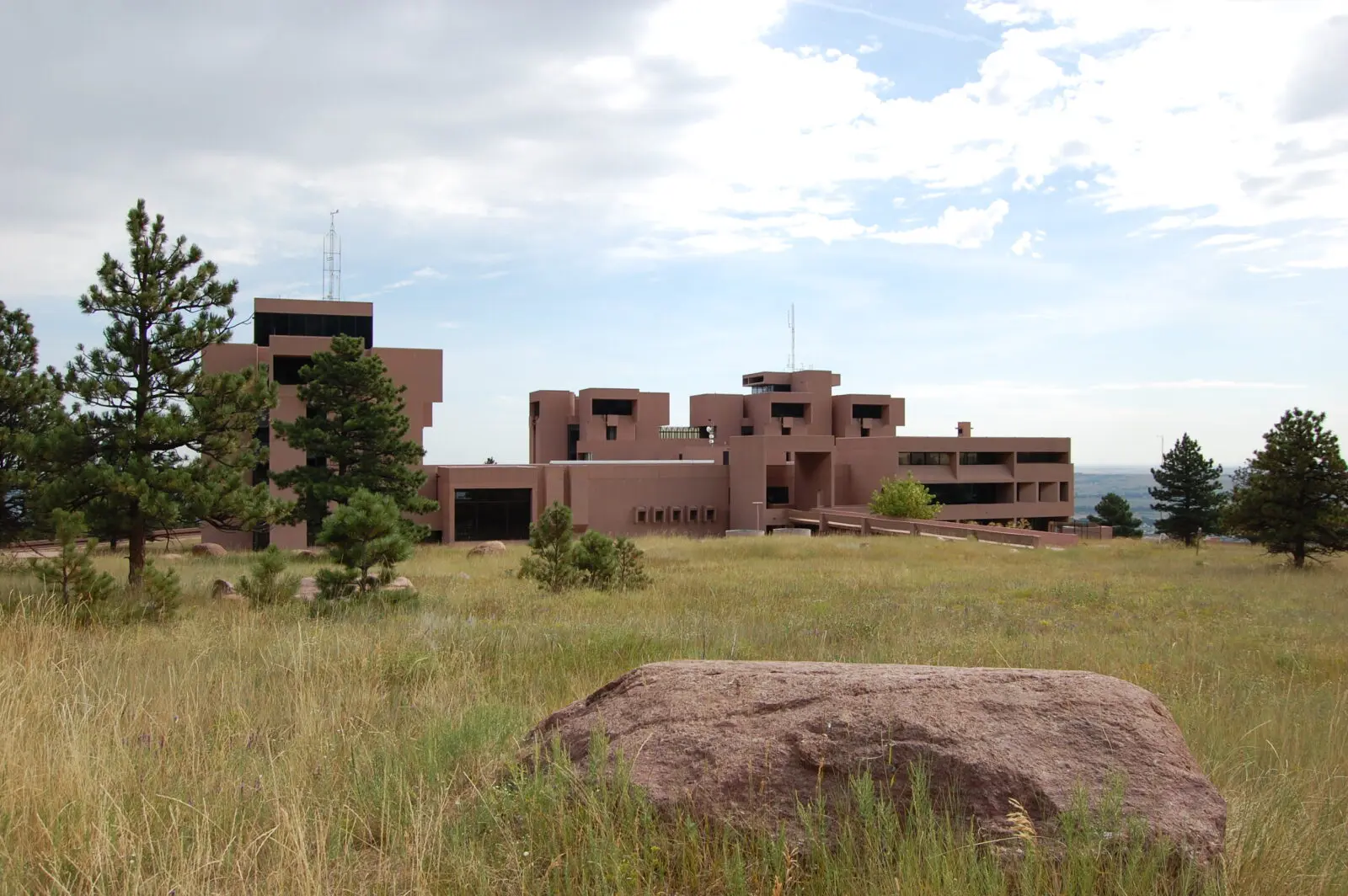
GCZDCT – Along the Trails West of NCAR – The 2.4 mile round-trip was a nice warm-up. I was surprised how quickly I got dehydrated at altitude (6,200′). But, wow, was it a nice trek! I am pretty bad at “seeing” geological things, but the printed guide was exceptional at explaining what I was looking at. The pictures also matched!
With even enough detail that I could walk up to a specific rock of interest: Near the end of the route (this was an out-and-back) were two impressive blocks of the Fountain Arkose that tumbled down the side of the mountain. This one is resting on its side, which is why the bedding is vertical.
Geology is awesome!
GC156EH – Old Kiln Trail was my favorite. After visiting NCAR, I had lunch and over-rehydrated. I had four hours to visit this, clean up, pick up a dessert, and drive to Ft. Collins to meet my friend. Officially, the requirements were to only visit two stops, but the further I went along, the more interesting the route became. As with the NCAR earthcache, I visited the entire route.
Between stops #2 and #3, I saw a large set of prairie dog mounds. The critters were all over the place. Whenever the trail would lead me to a spot relatively close to the mound, one would lay across the top of the hole, keeping an eye on me. Occasionally, it’d chatter to other prairie dogs around the area, probably making editorial comments on my being a tourist. Occasionally, I’d come across a sign telling dog owners to not let their pets chase prairie dogs. (Curiously, I later saw a mini-dog try to take on a small herd of disinterested cows.)
The trail is called “Old Kiln” because there is… an old kiln:
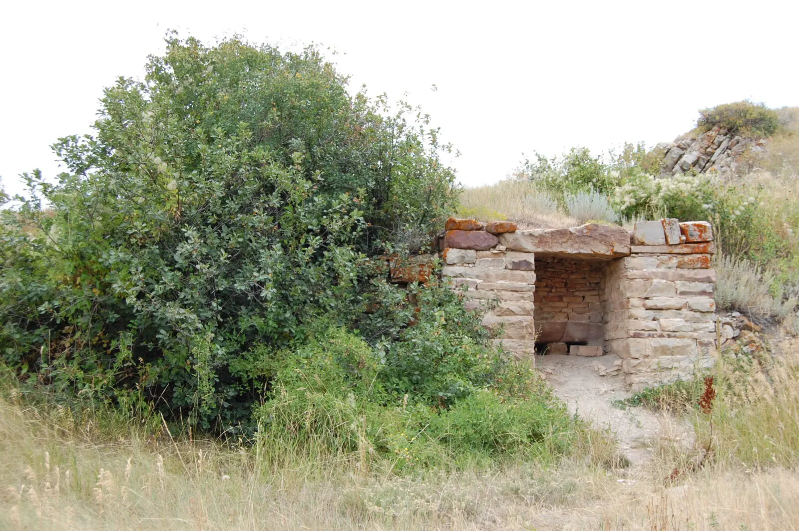
Old Kiln near Four Mile Creek |
This was believed to have been constructed in the 1880s and not a very efficient design. (There’s much more richer text by Dr. Hirschfield.)
Organic-rich mudstones are made from swamp deposits and fossil plant roots. Imagine Colorado being on a flood plain!
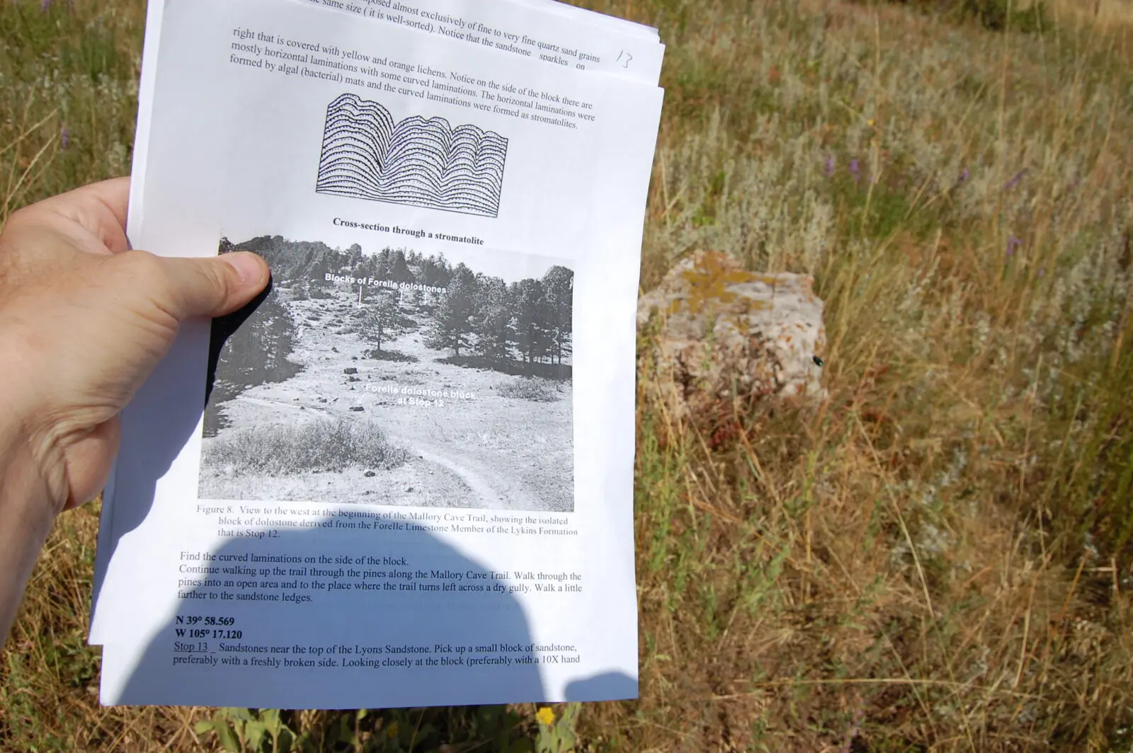
Stop #10 had this interesting cross-bedded sandstone in the Morrison Formation.
 |
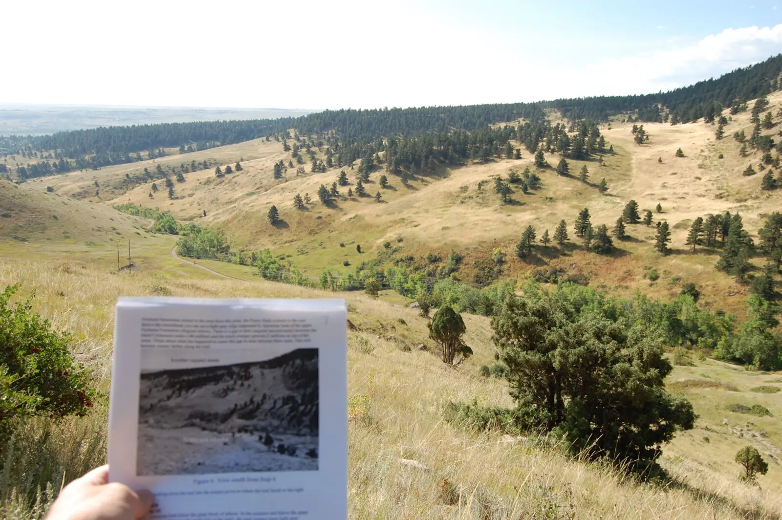
The culmination of the out-and-back tour was being able to see this exposed fault. From here, the return trek is forward through time, with improved perspective.
 Finger-pointing! Finger-pointing! |
GC156EJ – Marshall Mesa Open Space was my final earthcache, done Sunday morning before I had to catch a plane to my next stop. Unlike the other two, this was a loop with a bonus segment.
In this “knob,” there are two formations, Fox Hills (light, older) and Laramie (brown). The Fox Hills block is a horst.

This photo shows an exposure of Laramie sandstone. It’s got a lot of graffiti on it. (Click on photo to embiggen.)
This is a panorama of the view at the final stop along the Rocky Flats alluvial surface.
This area was very popular with mountain bikers, and for good reason.
This is fabulous! It might be my favorite of your geocaching blog posts. 🙂 The photos, as always, are a real highlight — thank you for going to the effort of taking them, and then sharing them.
I’ve actually been to that NCAR site in Boulder, on a work trip. We did a little hike up behind the complex, which might even have been the same trail you were on — but we didn’t get a geological guide. 🙂
I’m glad you had such a great time in Colorado. Does it make up for the not-so-fun geocaching in southern California?
This was a wonderful review! I enjoyed walking through it with you (did you put my name on the log….I should get partial credit for it now!) *grin*
It sounds like you had a wonderful trip to Colorado. It’s always great to add another state to your map!