In Part 1 we went from my house to Factoria Mall. Now we’ll finish the trip… and … go… all… the… way…
| Maps | ||
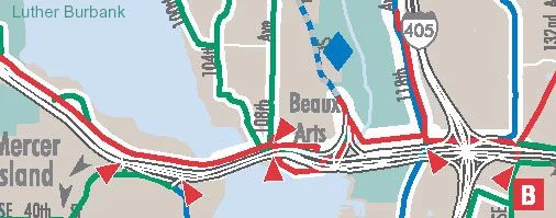
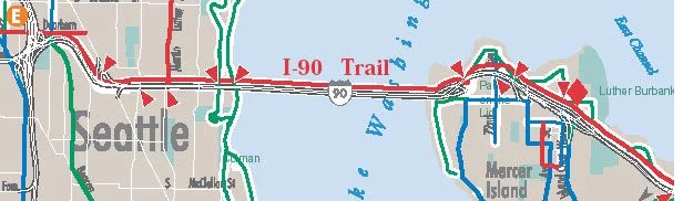
| Factoria to Enatai (City of Bellevue Map) | Bellevue to Mercer (King County Map) | Mercer Island to Seattle (King County Map) |
 |
 |
|
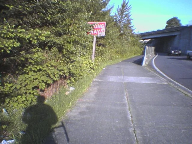 |
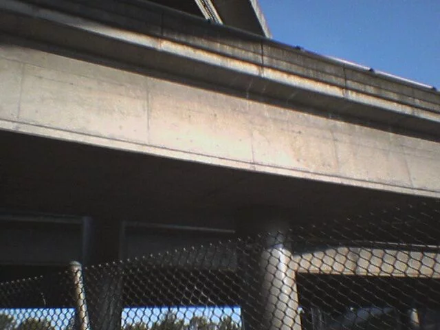
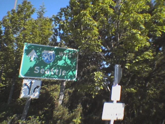
After crossing the very busy intersection of the I-90 Exit 10A offramp/S.E. 36th Street and Richards Road, we are confronted with this cryptic sign. It seems to be here for people who, absentmindedly, fail to turn either right or left and approach hoards of oncoming traffic barreling off of Interstate 90. |
|
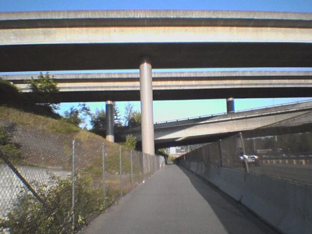 |
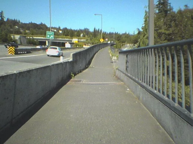
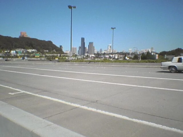
This road snakes among the confluence of Interstates 90 and 405. The sound from the river of traffic flowing above and around us is amazing and loud. |
 |
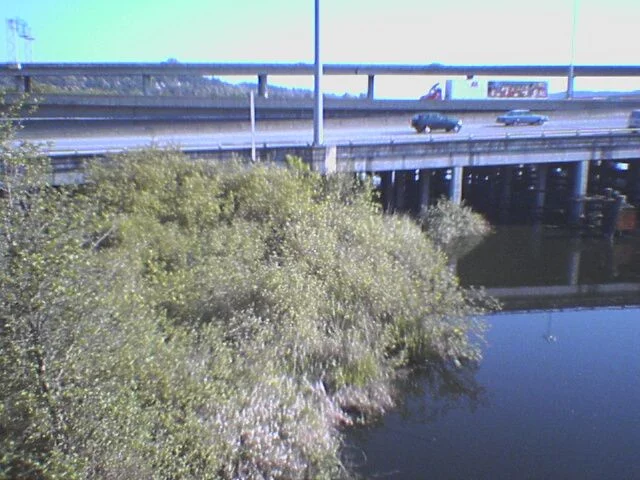 |
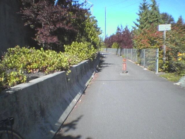
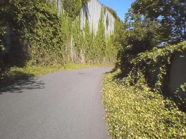
Soon, we’re in the Mercer Slough, a wetland area set aside as a walking/biking trail. The road’s pretty rough in spots, but the views are pretty nifty. On a moderately warm day, you definitely need to wear sunglasses lest you get a face-ful of bugs. |
 |
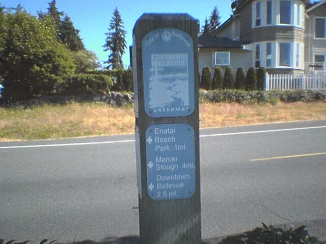 |
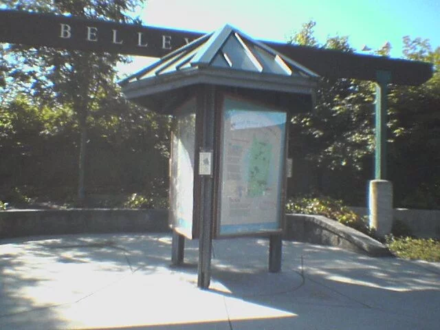
After Mercer Slough is Enatai Beach park. About .1 miles away is a little information kiosk with maps of the trail and the nearby park. The little blue signs (left) are helpful but difficult to read when you’re moving. One side shows us that downtown Bellevue’s only 2 1/2 miles away, the other side shows 0.4 miles to Mercer Island. |
 |
 |
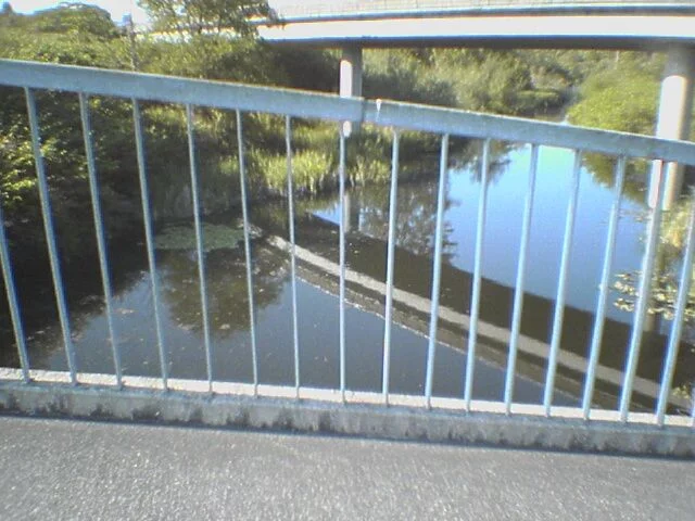
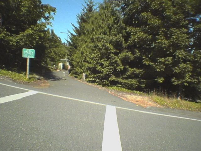
Behold! The trail entrance to Mercer Island.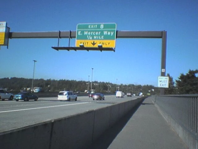 Water to our right Water to our right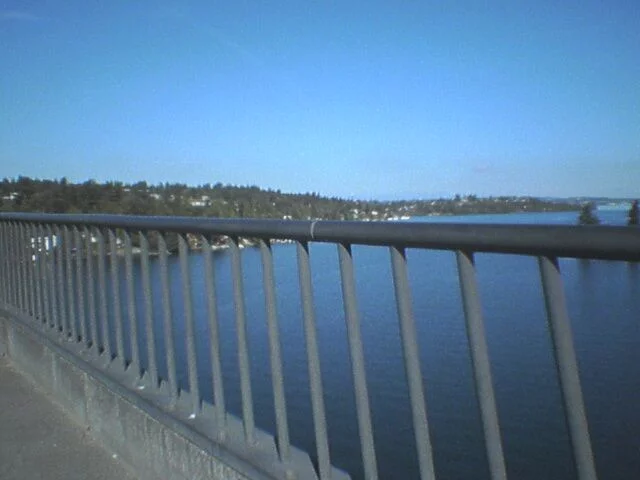 |
 |
 |
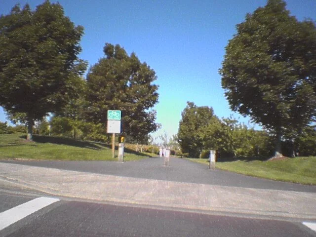
The Mercer Island section is a series of trails cut by roads. Traffic’s not that bad, however. If we continued straight, we’d do a few steep up and downs on mixed-use trails. Since we’re trying to beat our previous time of 1:25, we’re going to veer off and use the faster roads. |
 |
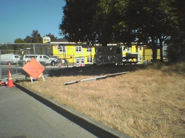 |
I’m not sure, but I think the construction flagger person lurks behind the sign, waiting for a cyclist to come by. About 50% of the time over the last month it seems like they’ll stop me to let some truck out. The road isn’t that busy, so I’m not sure why they couldn’t wait a few seconds. I take this in good stride, though. |
|
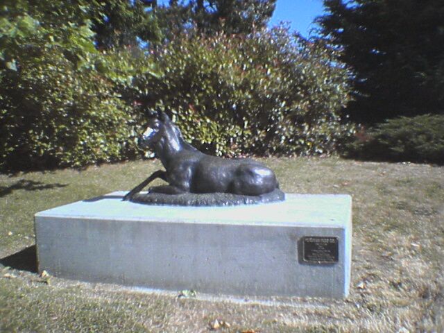 |
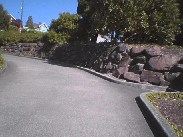
The surface streets are actually boring, so I won’t show you them. But here’s an example of random art along the trip. If this were Los Angeles, the horse would have been tagged within 20 minutes of being put here. In NYC, he’d be stolen. Thank God I live here instead… |
 |
|
Okay, I sort of lied. You can bypass several of the hills by taking a sawtooth pattern (see the third map, on the northern part of Mercer Island, the path is shown as a red line. The sawtooth are the green lines above this.) We took the “first” tooth, and enjoyed a quick burst of speed. Now we’re on the “second,” where we’ll climb up to the little rest area. In the afternoon, I’d bypass this because the field is usually replete with kids and soccer moms, several of whom like to plop down on the bike trial. They always seem surprised when someone tries going by them on a bike.  |
|
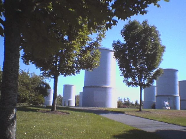 |
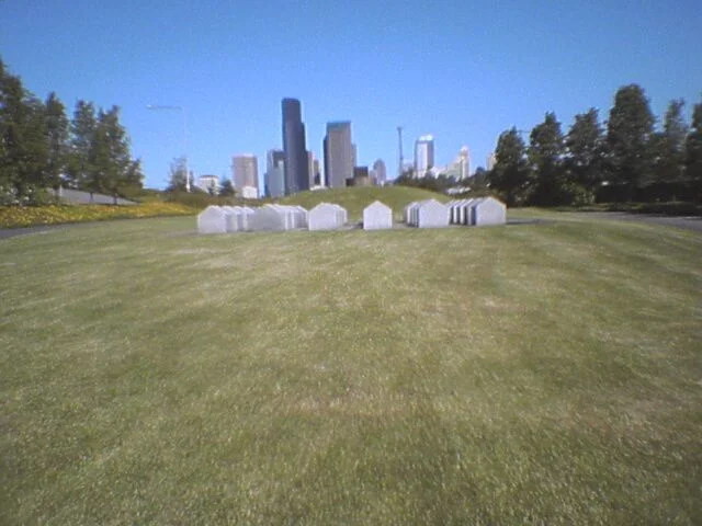
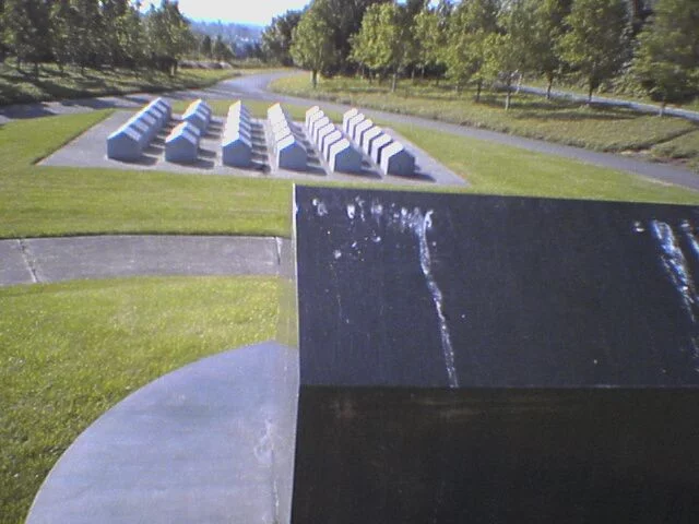
At the top of the hill, past the bathrooms and tennis courts, are these weird structures. They’re not supposed to be art… I think. Anyway, we have one more street to cross then we can get back onto the I-90 trail. |
 |
 |
And here we are! The buckling effect on the right photo is caused by my Clie having a really crappy camera. |
 |
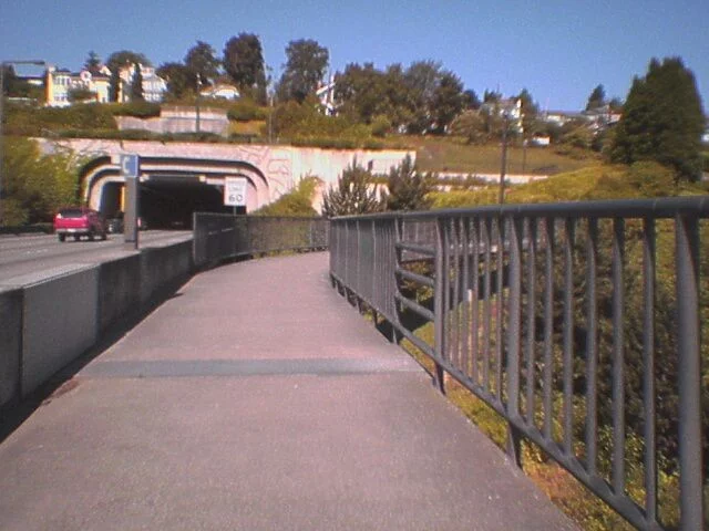 |
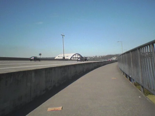
We’re now nearing the I-90 bike tunnel. Look between the phone and Speed Limit signs, and you’ll see the second car tunnel (there’s one below, too). Look up just above the hedge and you can see the entrance. We have a short hill to climb to get to this… |
 |
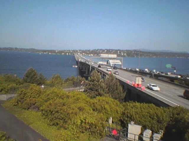 |
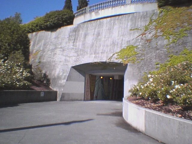
The view east (left) is pretty spectacular. But alas, we can’t dawdle too much because we have an 8:30 meeting with the folks who can’t seem to get a stable test environment for our projects… Let’s check out the tunnel, shall we? |
 |
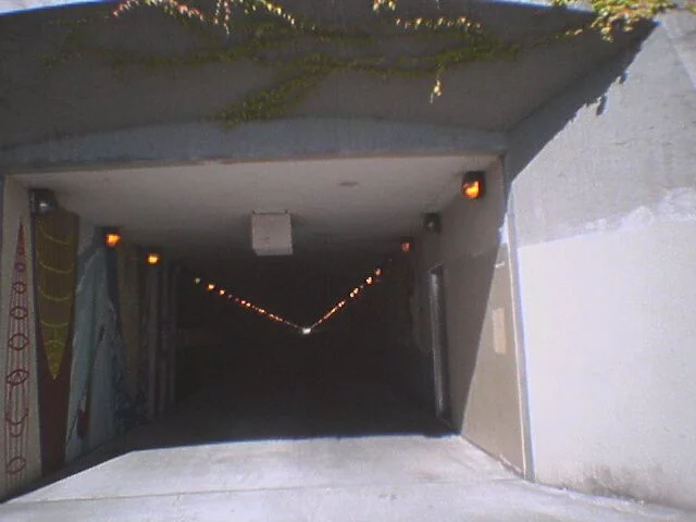 |
It’s lit (though not blindingly so), and usually cooler than the outside. Along the walls are various murals that add a nice touch. Unfortunately, the other side is where a lot of teenagers congregate and some of them like to apply their additional unsolicited markings on this. |
 |
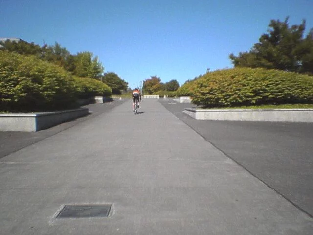 |
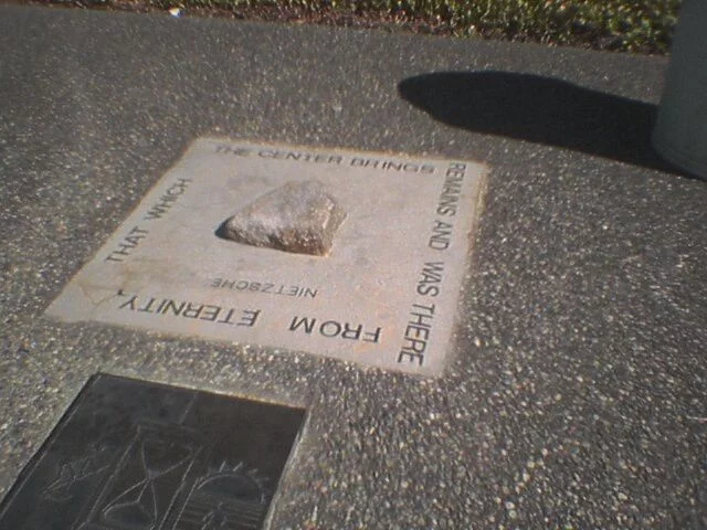
Emerging from the tunnel, we see the Philosophical Promenade. 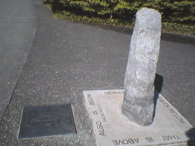 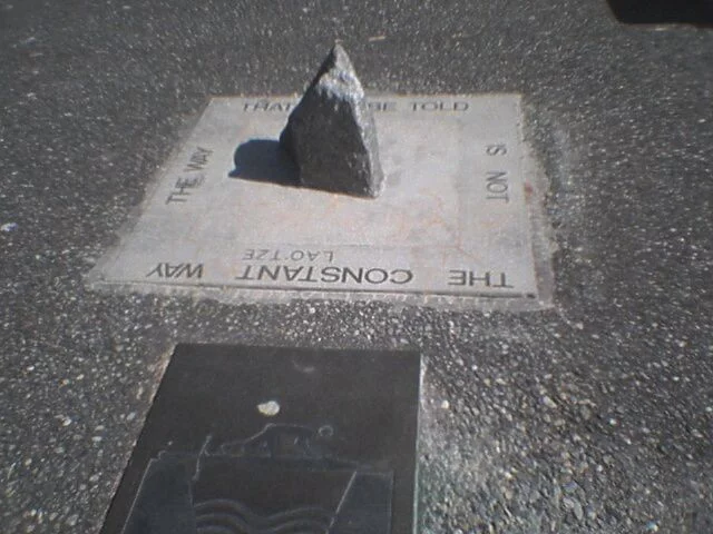 |
 |
 |
We cross 23rd Ave through Sam Smith Park then Martin Luther King, Jr, Blvd. This is a T-intersection with no indication which way to continue. I go left and resume the trail, which begins with a rapid descent… |
 |
 |
The trail hugs the feeder for I-90 in the opposite direction. You can see my office in this picture 🙂 |
|
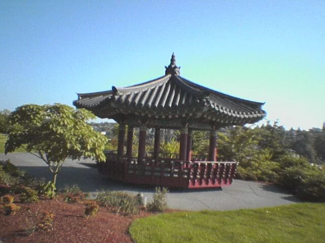 |
Taejon park, named after Seattle’s Sister City in Korea, is squeezed in between the trail and the overlook of the freeway. |
|
 |
Here’s Equality, by Ken Ledback and Rolon Garner 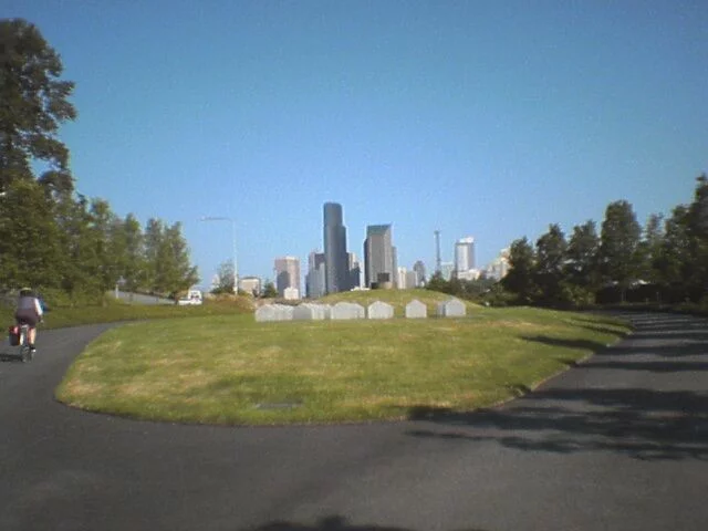 |
 |
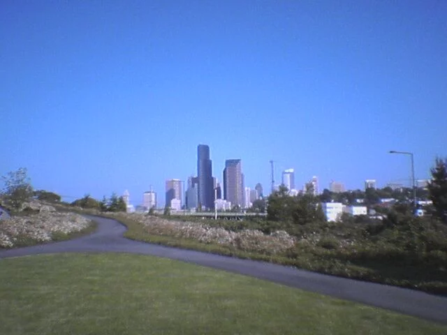 |
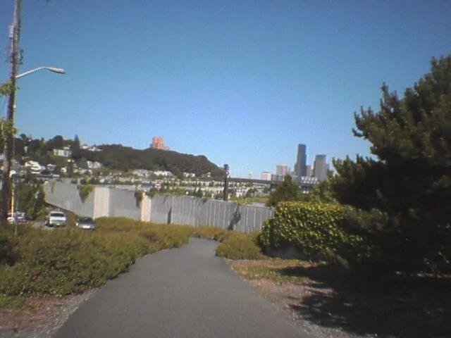
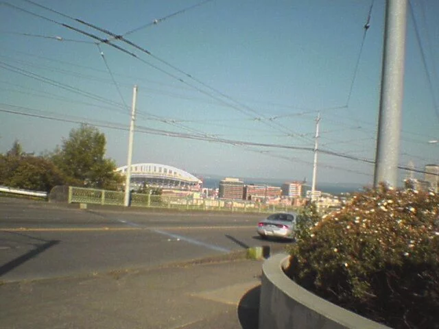
Nearing the stretch, we have a lovely view into downtown Seattle. The trail ends at the 12th Street/Judkins/Golf/Charles interesection. In the distance, you can see Seahawk Stadium. |
 |
When I started commuting last November, my average commute time was about
2:17 (two hours and seventeen minutes), which is, frankly, not good. I’ve
gotten it down to a more reasonable 1:25 and hope to work it down even further.
If I can get it to about an hour, then it’s within a reasonable amount of
the time it takes me to drive. THis, of course, depends on my ability to bike during the winter months when the days are very short
Stay tuned!
How’s the atmosphere, if you will, of an 8:30 meeting in an assumed closed conference room after you’ve biked to work for the previous 2 hours?
As long as no one in the room has been eating beans and asparagus for breakfast, not bad. 🙂
There are showers at work and I maintain a stash of clean laundry in my cube. In a pinch, I could spot clean in the bathroom and change clothes in about 5 minutes. (The average “8:30” meeting would start ten minutes late while the attendees rolled in, got lattes, etc.)
If you go here: or http://tinyurl.com/h2cl, you’ll see photos of my commute taken in November a year and a half ago. Much of the route is the same.
Note: those weird structures on the Mercer Island lid are not considered to be art, but are ventilation ducts for the freeway that runs below.
This is great! Someone needs to make a detailed map of Mercer Island for first-timers like me so we don’t get lost.
Now that you’ve biked it, are you ready to WALK it? Check out what I did a while back: http://www.zombiezodiac.com/rob/ped/archives/seattle/walk_to_work.html
Thank you, thank you. We never would’ve made it from W. Lake Sammamish Pkwy to Mercer Island without the information here. My husband and I both exclaimed “it’s the scary tunnel!” when we saw it. I should’ve read further about taking a left when leaving Sam Smith park, but next time we’ll know.
Thanks Jim for the detail on finding the switchbacks behind the school near Lakemont Blvd. Rode from the NE end of the Sammamish plateau to downtown Bellevue this morning to pick up a car on 116th. I know, I know, kinda defeats the purpose but it was a challenge to see if I could do it. Took me about 1:15 which could have been better if the traffic crosses in Eastgate were cleaner.