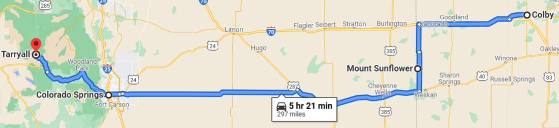
The second half of my geocation was in Colorado. With some potentially dicey weather en route (midwest Thunderstorms), my plan was to drive from Mt Sunflower all the way to Tarryall (GC18), the oldest cache in Colorado, then pick up caches (as weather permitted) on the way back to my motel.
 Departing Mt. Sunflower, KS
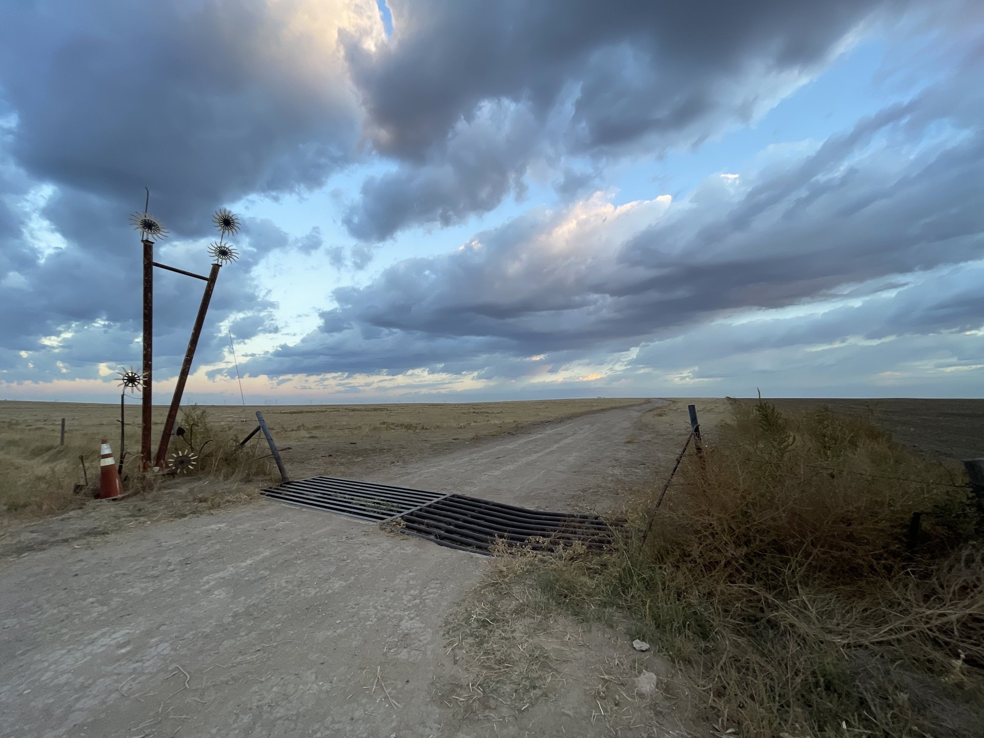
This part of Western Kansas/Eastern Colorado feels endless with no official rest stops. I stopped a few times to stretch my legs, grab a quick park-and-grab cache (enough to claim the county), and pee. The night before, I picked up some extra tamales at Los Jarochos food truck in Colby to munch on at an appropriate point. Cell coverage was very limited, I was really glad I had pre-downloaded music and a few (good) audio (meh) books (great). I wish the Netflix app would let one play just the soundtrack to music without having the video screen go.
 The scene before Lake Urine spontaneously appeared next to my car
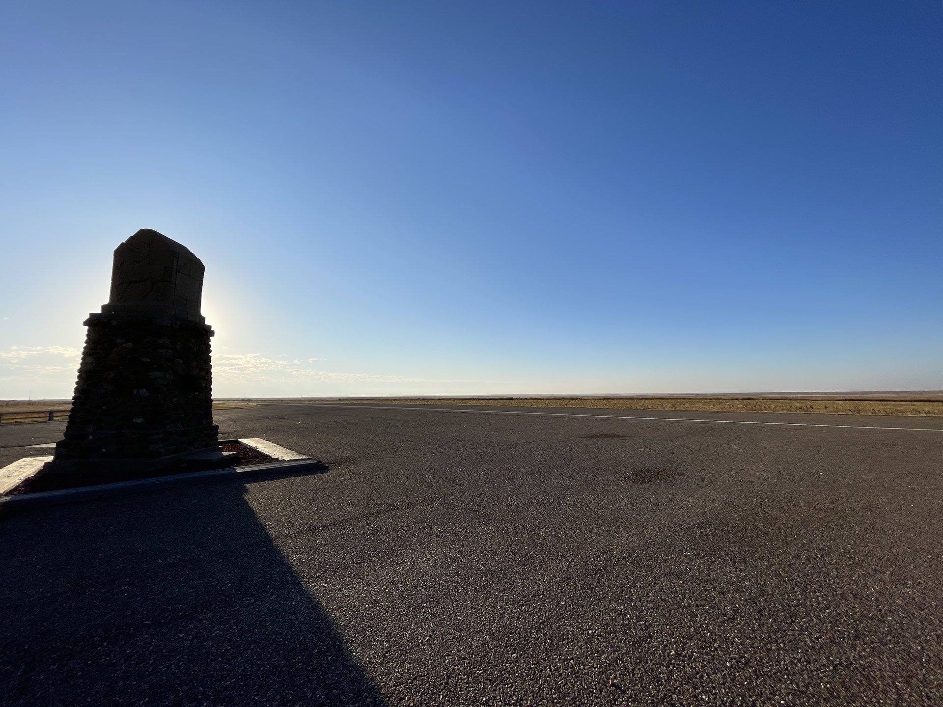
After miles of Miles of serene, open highway, the business of Colorado Springs was jarring. Then the elevation gain and cold weather started. Unlike Mingo, this cache is somewhat off the populated area at about 8,800′. From the lot, it was about a 3/4 mile hike along a rocky, well-traveled area. The cache is not really “hidden.”
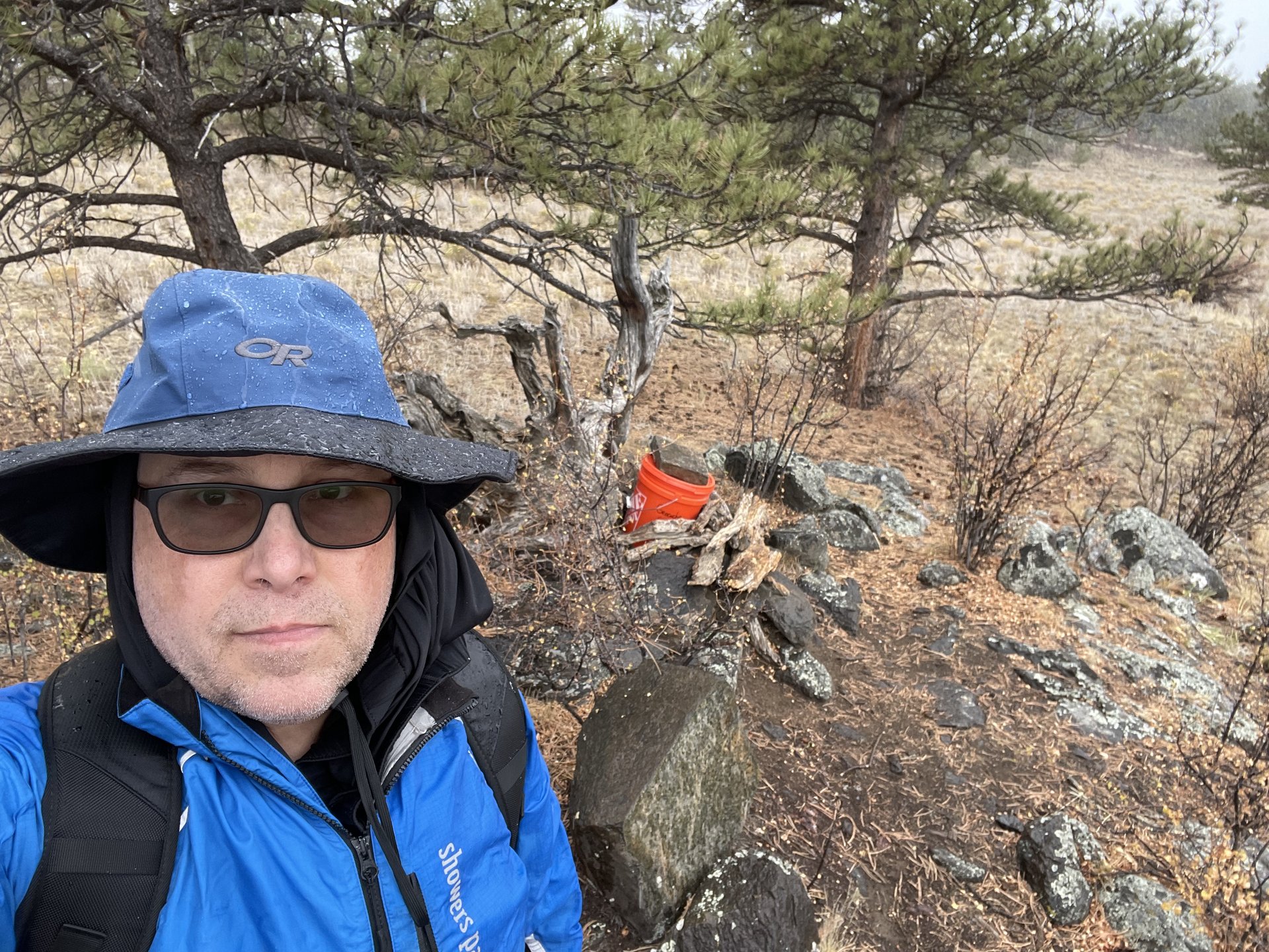 Tarryall (GC18), oldest geocache in Colorado
Snow picked up on the walk back to the car. I was going to try driving to Pike’s Peak, but the road was closed at 11,500′ because of weather. Since I had already pre-booked a trip on the Cog Railway the next day, I didn’t bother driving to that point.
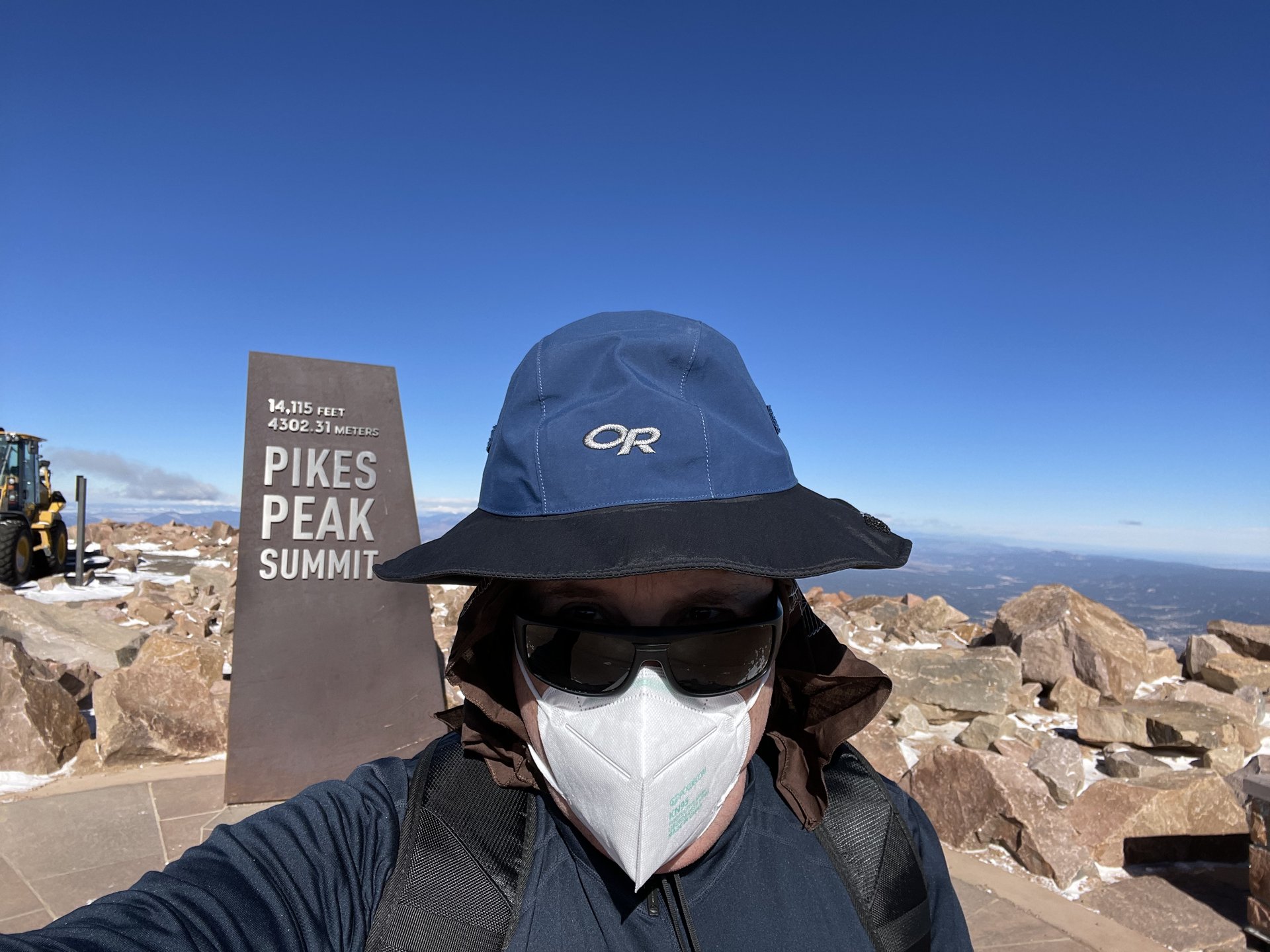
 Day 4 – Pike’s Peak, Garden of the Gods
Manitou Springs was under serious amounts of construction. There was an option to park on the end of town and take the free shuttle into various points of interest. Seeing the driver navigate the minibus reinforced it was a wise decision not to attempt myself.
It was worth booking the reserved seat ($10 extra for the round-trip) so I could ensure I had a window view. If I did it again, I would have sat on the other side on the trek – I guess I thought the train turned around versus just going up and back. The train has wide opening windows on the side that were cracked. With the sun beaming, it was okay (bundled up) until we hit the end of the treeline, at which point it was just too cold.
Despite what the site says, you are permitted to take water on the train with you and there are toilets at both ends. This became important because dehydration exacerbates the ill-effects of altitude. About 11,000′, an awful headache hit me and lasted until the way down.
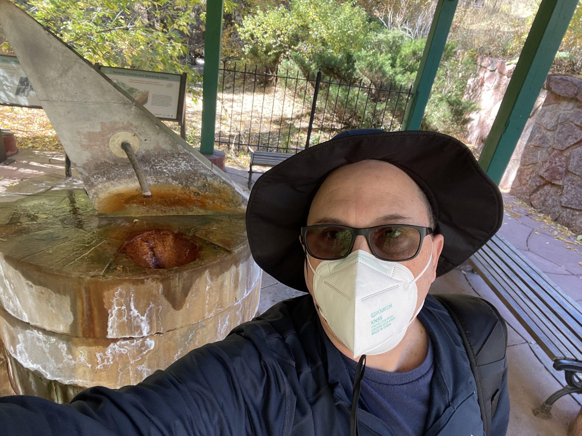
 I don’t remember much about taking this selfie.
The default round trip allows one 40 minutes to meander around. At the peak, 14,115′, it was cold and gusty. I wandered around outside to grab a few geocaches before needing to head back.
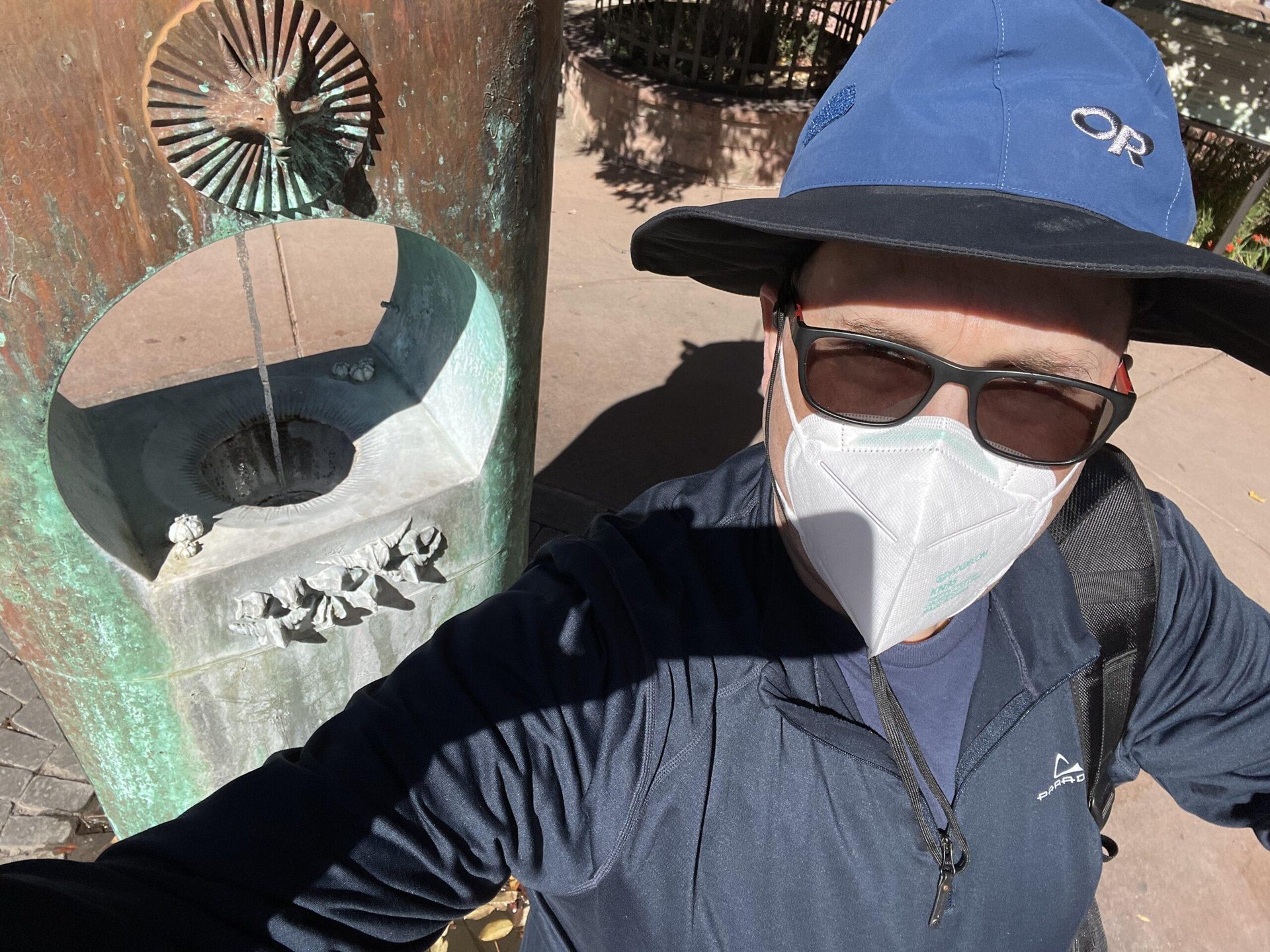
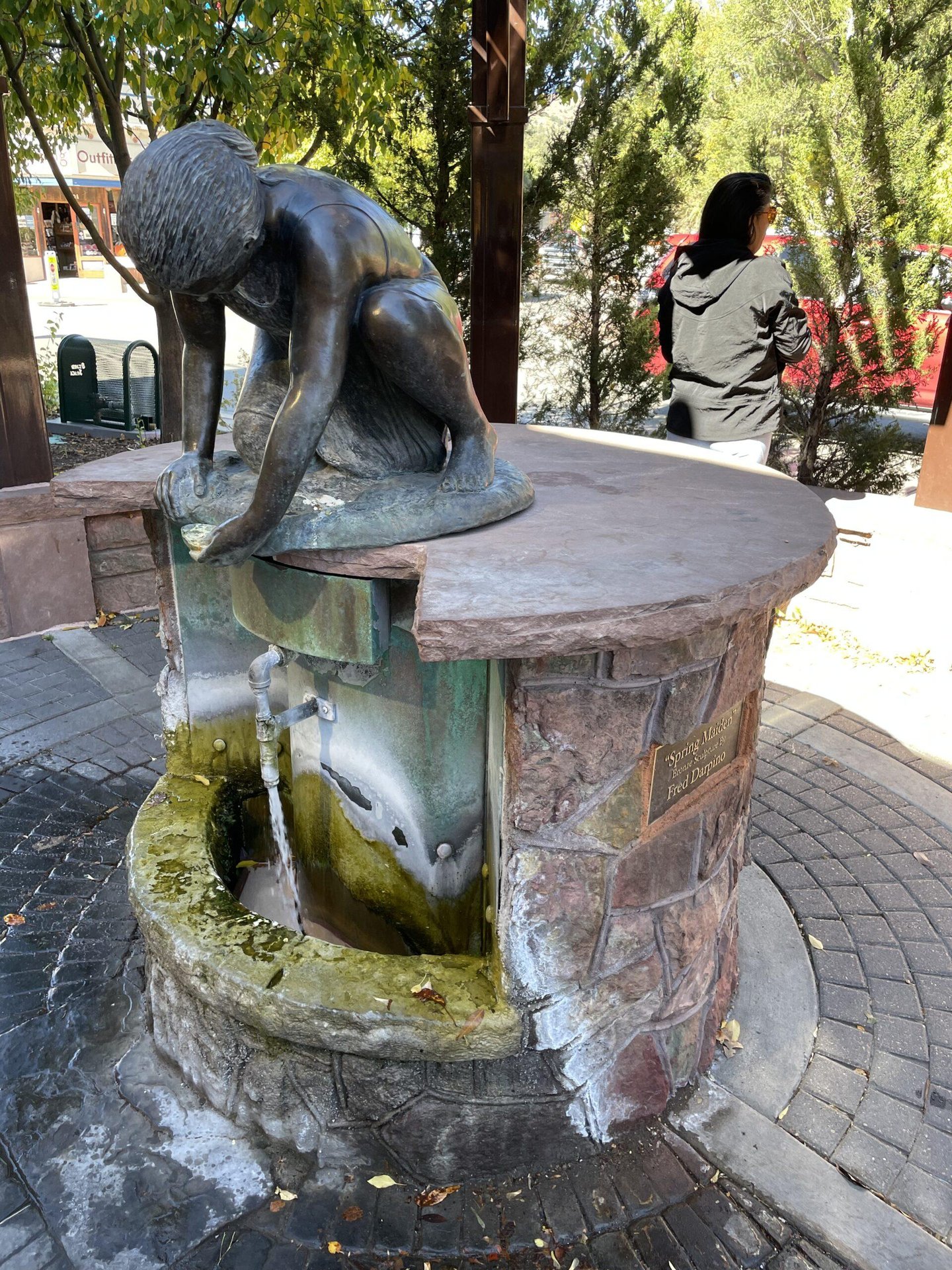
I walked through the city of Manitou Springs to check out the springsand get a bite to eat. Each spring has a placard indicating its unique mineral content. Iron Springs was nasty. The others… well, let’s just say I prefer good ol’ Municipal Tap.
 Wheeler Spring
 Cheyenne Spring
 Stratton Spring
 Iron Spring Geyser