 Day 1: Denver Intergalactic Airport to Arikaree (GC31) and Mingo (GC30)
I took the early flight from Seattle to Denver, not checking a bag to hasten my departure from the airport in hopes of grabbing Mingo (GC30) — the oldest active geocache — and Arikaree (GC31), nearly as old. I soon ended up on a very lonely road, headed east to Nebraska.
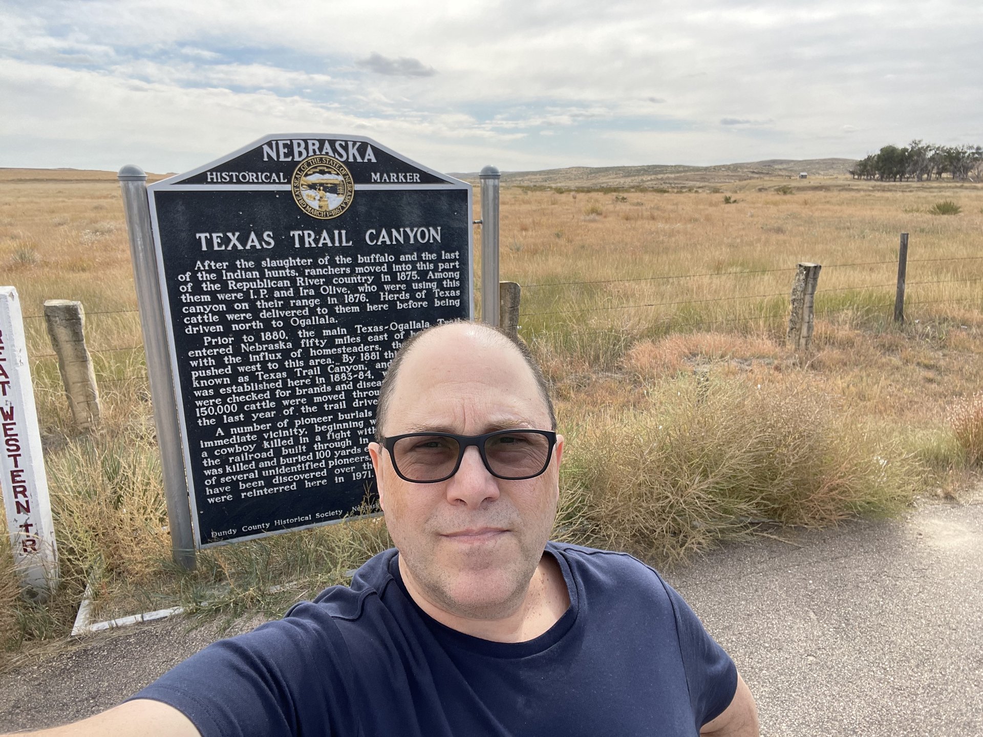
The first stop was the triple-point intersection of Kansas, Nebraska and Colorado, a completely arbitrary waypoint that I’d have no other chance to stop at and claim a virtual cache. Unbeknownst, I’d not only left Settlers of Catan running in the foreground, I also hadn’t plugged the charger cable in right. No battery. I plopped the alternate battery in near Texas Trail Canyon.
 Hey, I’m in Nebraska! (Also, we really fucked the locals over.)
The turnoff from the main highway was a dirt road with moderate sand accumulation. My thoughts of “what if I get stuck here, there’s nobody around” were overruled by “Must Get The Precious!” Since the road was quiet, I could ride in the middle of the “lane” and the sand didn’t affect things much.
Arikaree (GC31) is at the Arikaree Breaks, “a finalist for the title of Eight Wonders of Kansas.” It’s a result of the eponymous river eroding loess deposits over a very long time. The clay in the loesshelps prevent it from caving in. As a result, there are relatively dramatic gullies.
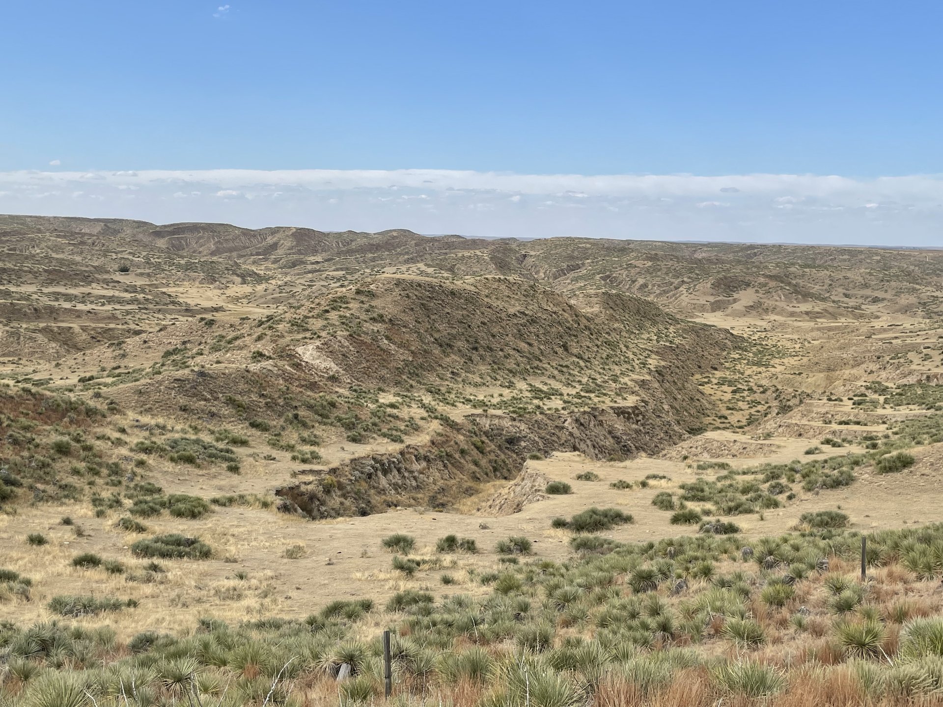 Arikaree Breaks
It is one of the more scenic areas I’d see during my few days in Kansas. The cache was relatively easy to find, too.
Continuing south, I found a Grand Army of the Republic cemetery established in 1889. The east half was for GAR members and their families, the wet half was for other citizens, all donation-based. The intent was to provide an honorable burial to destitute Civil War veterans.
The Grand Army of the Republic was founded in 1866 as an organization for honorably discharged union veterans of the “War of the Rebellion.” It was based upon three objectives: fraternity, charity, and loyalty. Posts held regular meetings and “campfires.” Thousands of members attended state and local annual meetings called encampments. The GAR worked to raise funds and arrange loans for the relief of needy veterans, widows and orphans. The GAR also worked to raise funds for monuments and memorials, and encouraged the preservation of Civil War sites. The GAR grew to have a big influence over politics in the nation. Five Presidents were GAR members: Grant, Hayes, Garfield, Harrison, and McKinley. In 1868 the GAR began the annual observance of Decoration Day, which is now known as Memorial Day. The last encampment of the GAR was held in Indianapolis in 1949. GCC775virtual geocache
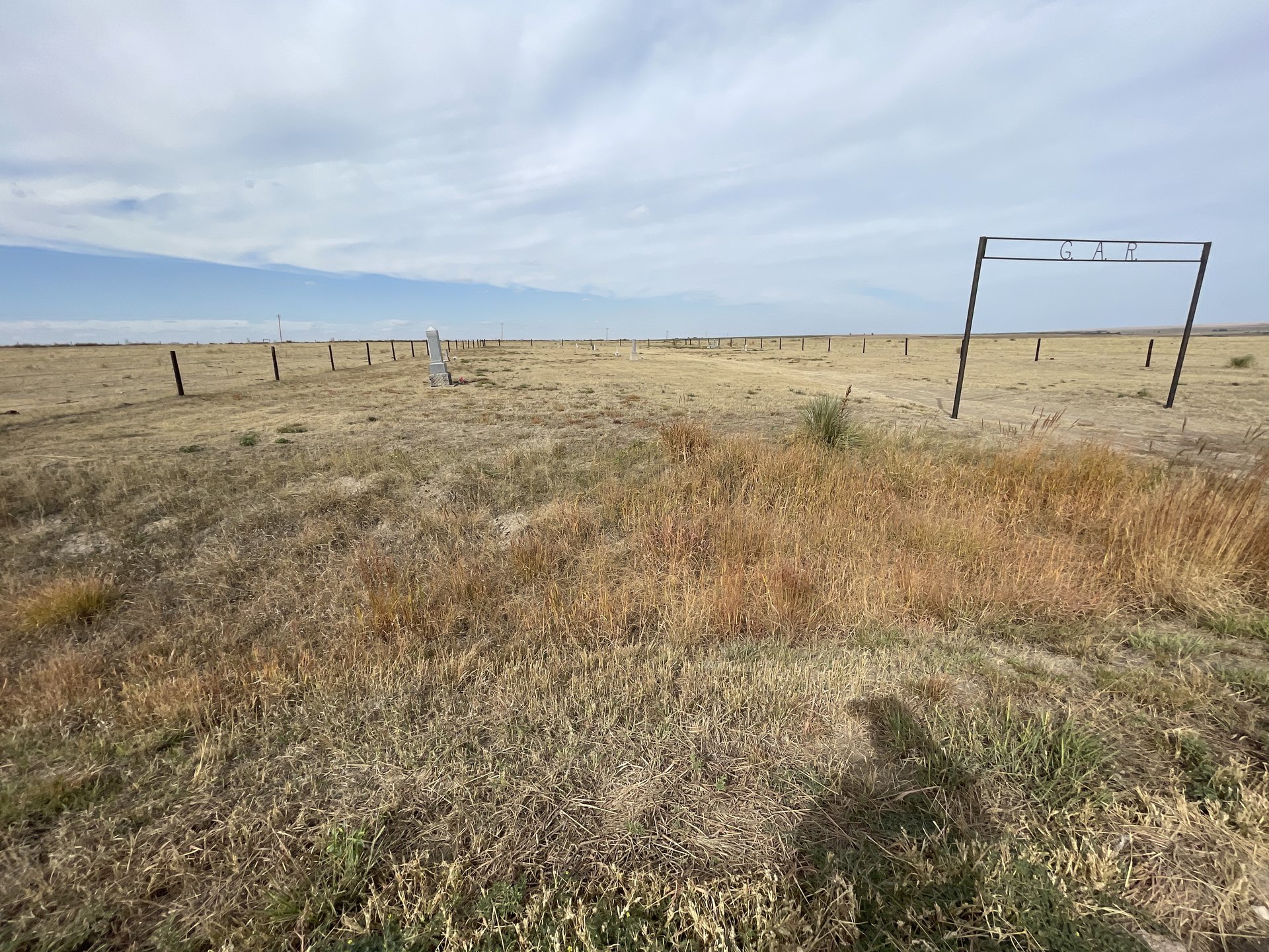 Grand Army of the Republic cemetery, 1889.
I was surprisingly ahead of schedule, and continued to the cluster around Mingo, southeast of my hotel for the night. Were it not the oldest active geocache, it would be easy to pass it by. It is a jar inside a pipe buried grassy area south of of Interstate 70.
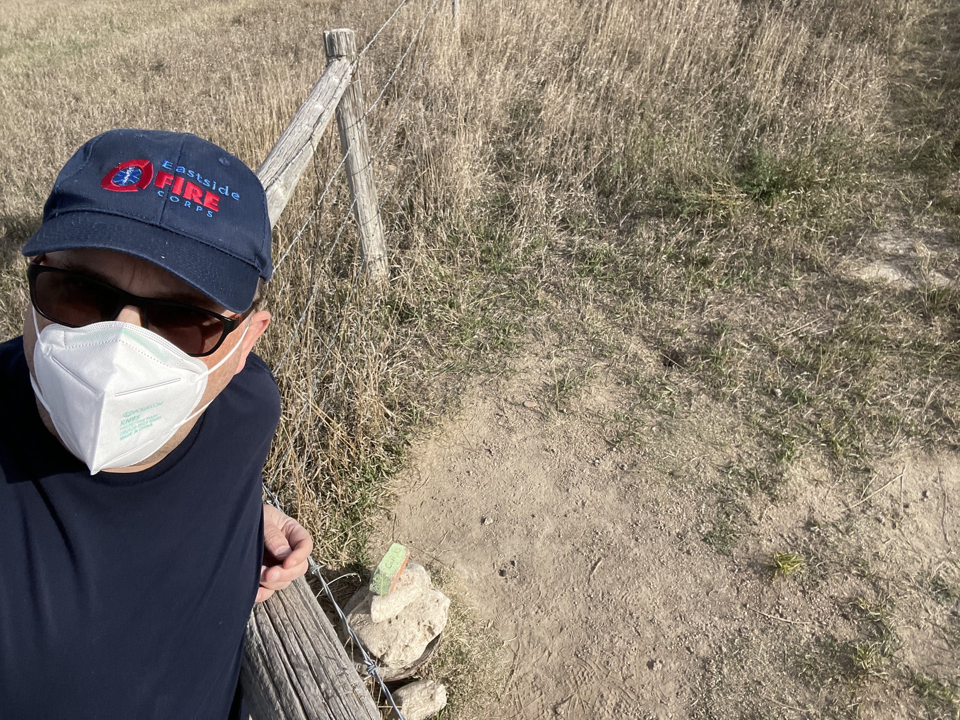 On the wrong side of the fence, GC30
Fortunately, because so many people come here there are a few owners who are extra motivated to create outstanding geocaches. Some of the ones seen here and in nearby Hays, Kansas:
- Align the blocks by colors to produce numbers to unlock.
- Use a 9V battery against the contacts to deduce combination.
- Pretend ATM
- Just a cute container
- Figure out how to liberate Mr. Frog
- Using a balloon in the closed container, inflate with air, place over nozzle. Cache shoots out.
- Farm animal game
- Cute container near dinosaur museum
And then there’s “geoart,” where the posted coordinates form an interesting shape, usually related to a geocaching event. The caches are likely back-to-back-to-back along a road. The containers are the same, so you can bag a lot of caches in a short period. There were 128 in the series.
- Ubuquitous translucent green container
- Sample “power trail” of these geo-art caches
- Once you know what to look for, you can just eyeball them.
- The first cache in the series
 Day 2: Hays, KS and Colby, KS
The third day of the trip had me leaving Kansas to go west to Colorado. A friend of mine had recommended I visit “Mt Sunflower,” the highest point in Kansas.
 Day 3: Mt. Sunflower, Tarryall (GC18)
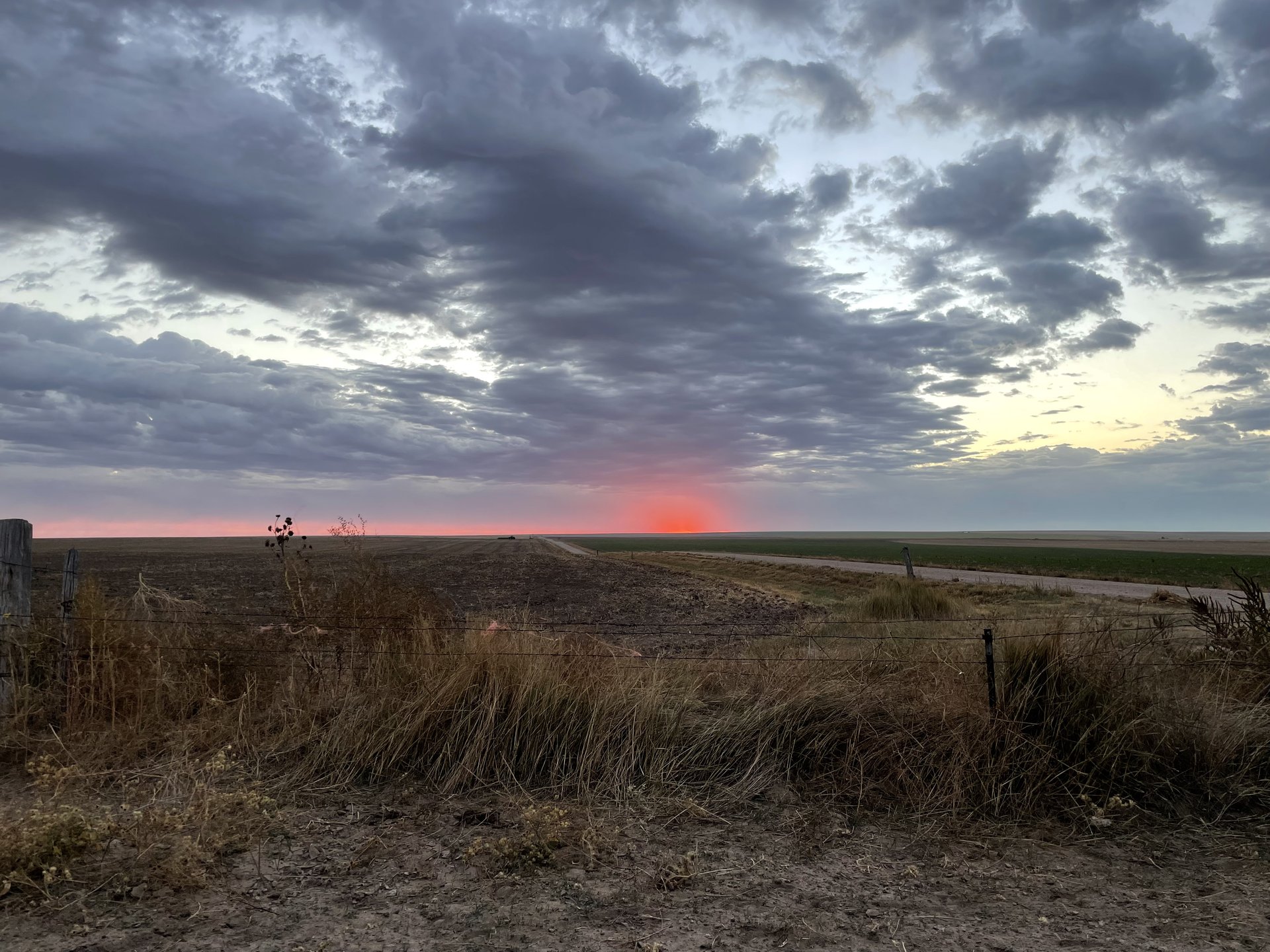
Since the weather forecast was suspect, I got up really early to head west. Just before the state line, one takes another Kansas dirt road south for several miles. There’s not much here, but the view east is pretty as the sun starts to lighten up the area.
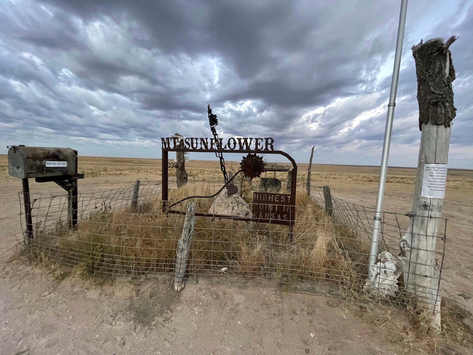
The road makes a couple of unusual bends, then you see something other than grassland. The area is privately owned, but the caretakers, possessing an excellent sense of humor, allow folks to visit. There is a pullout around the mountain, a mailbox with a summit log, and placards advising you you’re there. In this area, I claimed a letterbox, wherigo, multi-cache, traditional, virtual and earth cache. (The earth cache had one measure the altitude gain from the entrance gate to the ‘peak’ – it was more than I had expected.) Totally worth visiting.
- Mt Sunflower
- Halfway around Mt. Sunflower
After a few minutes here, I started to get cold and continued south along the dirt road, eventually intersecting a state highway that would take me into Colorado.