
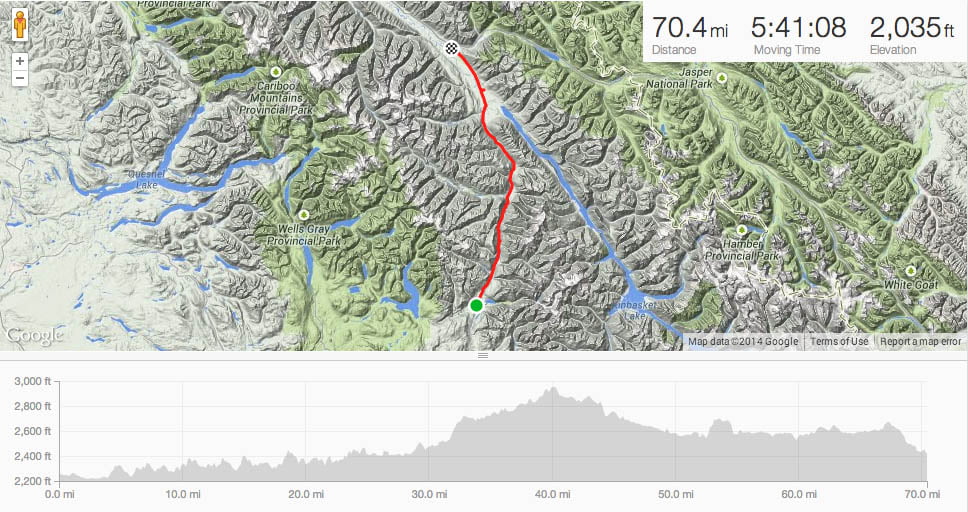
Cycle Canada – Icefields Parkway trip summary: 9 days, 582 miles, 26k elevation gain, 95 geocaches and a hundred insect bites.
Back in the darkest weeks of December, while visiting my parents in the Houston area, I was hunkered down on the couch, enjoying an escape (summer) fantasy with a copy of Adventure Cycling’s smörgåsbord of 2014 rides. While I’d love to do the six week ride down the Pacific Coast (or even a snippet, like the Pacific Coast Central), I couldn’t swing the time away.
My ideal ride would have:
- Scenery.
- 5-8 days of riding — I am limited by vacation time and the munificence of my lovely and erudite spouse.
- An average daily distance of at least 50 miles — if I’m going to sunscreen, sully a pair of bib shorts, and become an expert in erecting my tent, it’s not going to be for 30-mile days.
- Camping — to keep the cost down.
- Someone to schlep my camping stuff between campsites
… which pretty much describes the events I’ve done in the past: two tours with Ride Around Washington (along the peninsula, down the center of the state), three with Cycle Oregon (this, this and this), and, last year, Ride Idaho. These were all fantastic, but I wanted to see some different scenery.
I broke out a map and outlined routes that I would like to ride sometime (and the rough order):
- Santa Fe, NM to Boulder, CO — Adventure Cycling offered this route a couple of years ago, when I was having body parts removed and couldn’t train. I couldn’t find an equivalent tour option for this year. But next time, oh baby, I’m all over it.
- Pacific Coast from Eugene, OR to San Francisco, CA – there were a couple of options, but the trip time was on the order of 15 days.
- The Icefields Parkway (Jasper, AB to Banff, AB) – Cycle America has a future ride extending to Waterton Lakes, which was perfect, but their schedule was TBA. Cycle Canada had a Vancouver, BC to Calgary, AB. Diving into the fine print, I saw they offered a shorter version from Kamloops to Calgary
- Missoula, MT to Jackson, WY – Cycle America has this as part of their cross-country route.
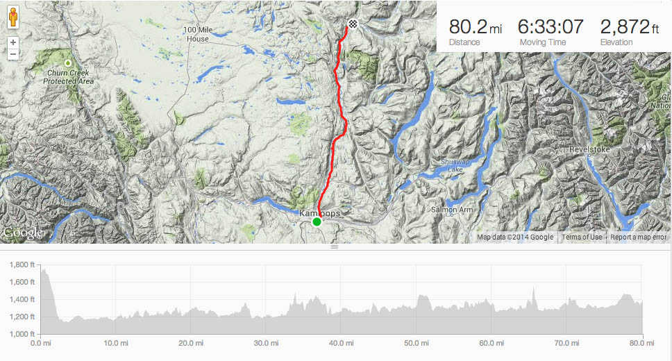
After searching until smoke came out of my ears (not very long), I opted to try Cycle Canada’s shorter version, Kamloops, BC to Calgary, AB.
A July ride would be the earliest I’ve ever done one of these things. Thus, I was keen to try to get out when I could. With short winter days and sucky weather, I stuck to 8 to 15-mile hikes on Tiger Mountain, one of the hillier areas. My FitBit was happy-vibrating.
The bulk of my training came in May, during the Bike to Work commuter challenge. The rare opportunity to successfully compete against the 20-somethings kept me on the bike a lot. The nearly 500 miles of commuting included a healthy amount of hill-climbing. What it lacked, though, was riding in hot weather. In most years, I get some of that during the Century Ride of the Centuries. Not this year.
So, physically, I went into it feeling pretty confident.
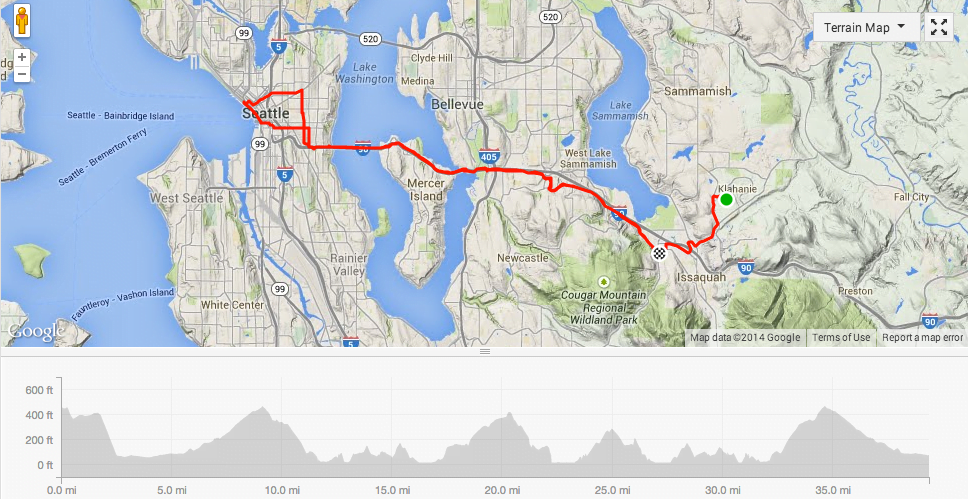
So meanwhile, I was trying to figure out my travel situation. It’s a real comedy of transportation. WIth patience, I could take a train (with a bike on it) from Seattle to Vancouver to Kamloops, but getting back from Calgary would require either going to Edmonton or flying.
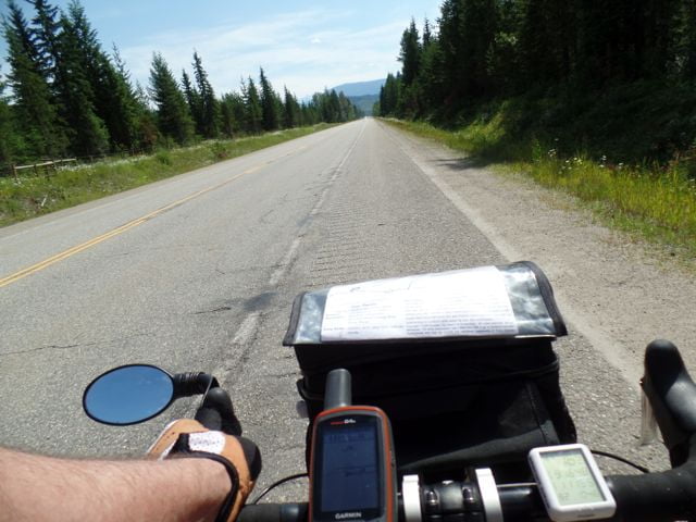
Day 1: Kamloops, BC to Clearwater:
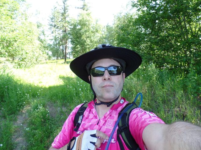
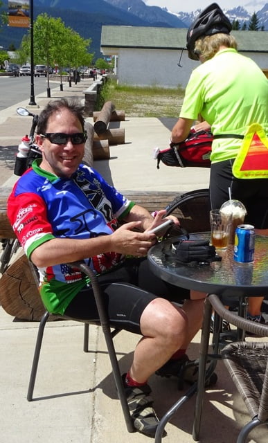
I had my usual first-day-of-the-ride jitters: it was Canada Day, I didn’t sleep well the night before (unrelated to Canada Day!), I met a bunch of people, most of whom had ridden together since Vancouver, but whose names it would take me another five days to remember. This was also the longest, hottest ride I’ve done since Ride Idaho. On the plus side, I found geocache puzzle that had gone nearly three years since its last visit. I also perfected my dorky look with a Da Brim to keep the sun off my nose and ears.
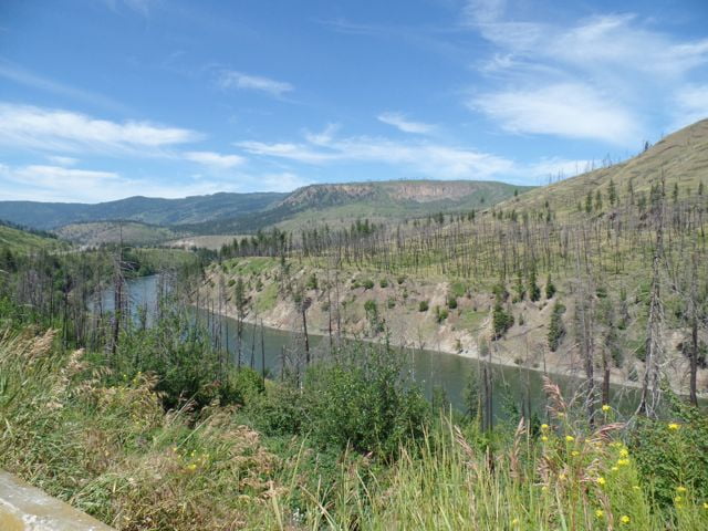
Nearly a month later, I’m not sure if my scant photos on this segment were due to the near-constant torrent of traffic on this moderately-busy highway or it being comparatively un-scenic. Like most days, I rode by myself.
Where opportunities presented themselves, I pulled over to check out interpretive signs. The Overlanders route of 1862 still shows signs of the McClure Fires of 2003. Our campground was nice and, surprisingly, offered free wi-fi.
Day 2: Clearwater to Blue River:
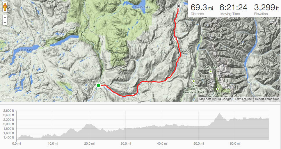
My general lack of recent experience riding in the heat made this the most challenging segment of the whole trip. The moderate hill near mile 55 was comparable to what I do to and from work, but hitting it during the peak afternoon heat (36C/97F) left me light-headed. At the summit rest stop, I sat on a retaining wall staring at an interpretive sign, sucking down the remaining water I had.
Because our maps were lacking detail (like elevation gain), I assumed the “hill warning” meant another 1,000′ before I got to camp. I grabbed the nearby geocache then lollygagged for another 40 minutes until my stupor abated. The post-summit plunge was nice, tempered by the warped mental dread of having to make up the elevation.
As it turned out, camp was pretty soon thereafter. With the primary group space full, I was relegated to an area behind the office, where the septic technicians were doing battle with effluent. They didn’t seem to mind the stinky cyclist setting up a tent nearby! The best part about being over here was sharing a spot with Mario and Shelly, a fantastically nice couple who had done the ride before.
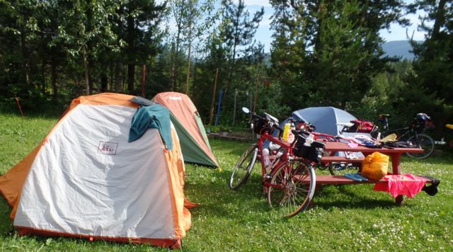
After getting the tent set up — more or less — I plugged my phone into the solar charger and sauntered over to the well-equipped camp office for a Popsicle.
On these trips, the ritual becomes:
- Find a camping spot
- Set up the tent/cot/etc
- Clean out water bottles and fill them for the next day
- Do any necessary bike maintenance (like rinsing off the sports drink blowby, oil chain)
- Shower
- Text significant others
- Eat
- Sleep
- Un-set up tent/cot/etc
- Ride
Day 3: Blue River to Tete Jaune Cache:
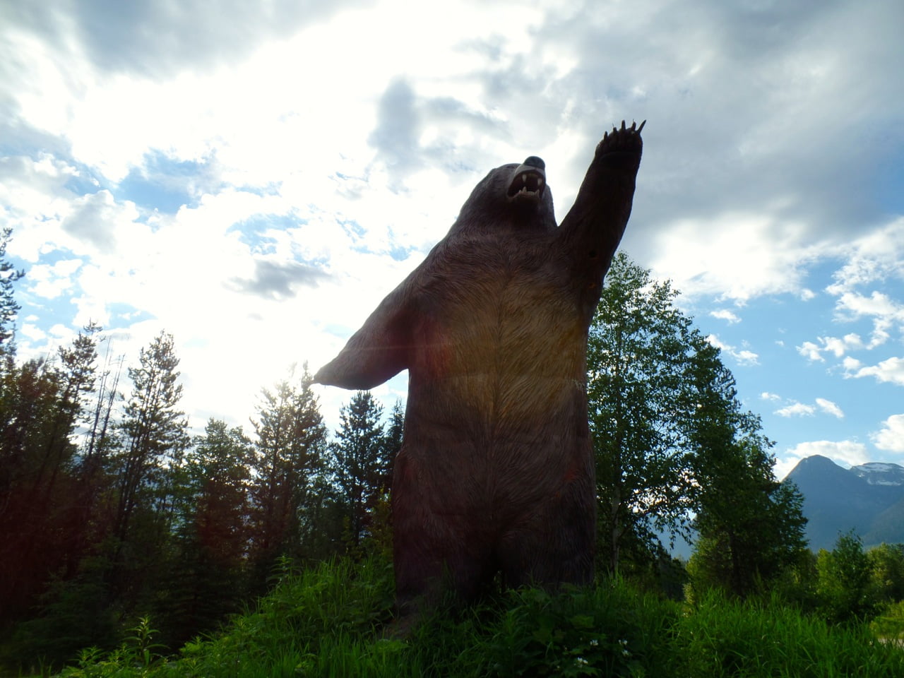
This was a great route. The morning began with this roadside display:
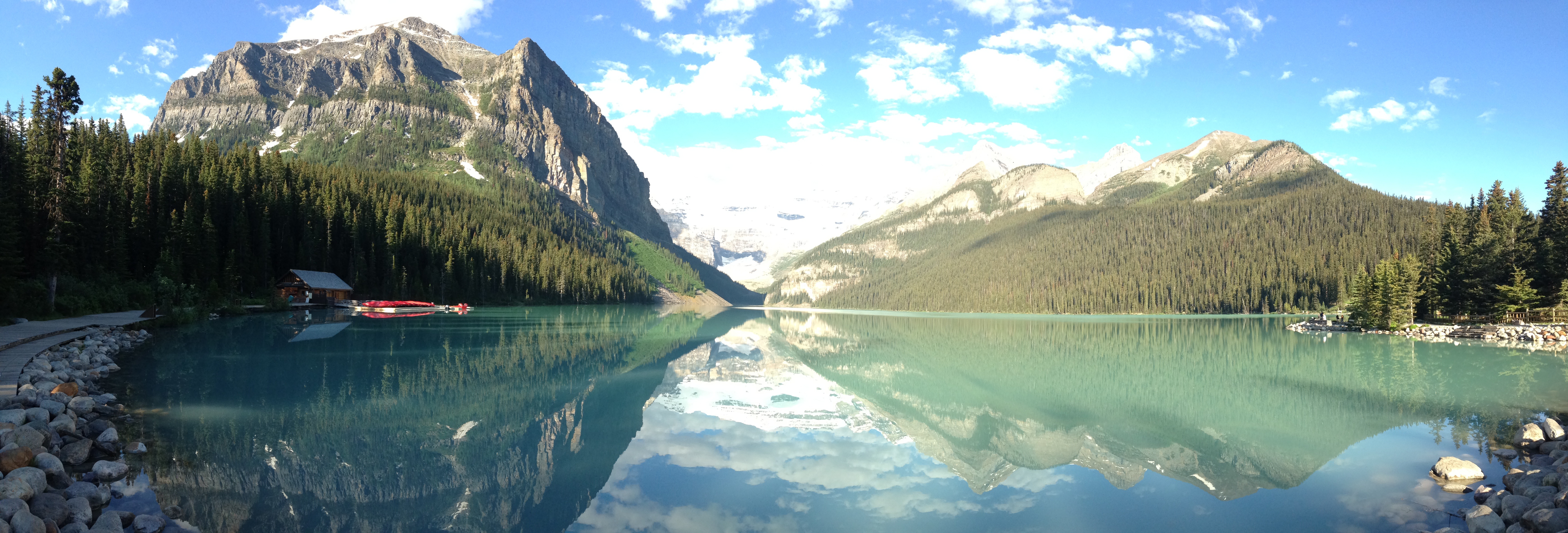
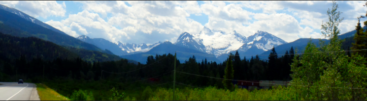
I finally saw a glacier:
Took a 2km side trip off-route to completely enjoy a real lunch with iced coffee:
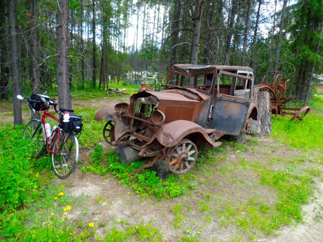
Check out this old Studebaker:
and crossed this bridge into camp:
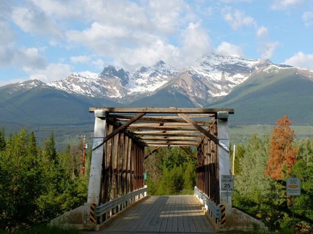
where my tent site was 20 feet from the mighty Fraser River. And I had enough energy to do laundry (yay, clean clothes!)
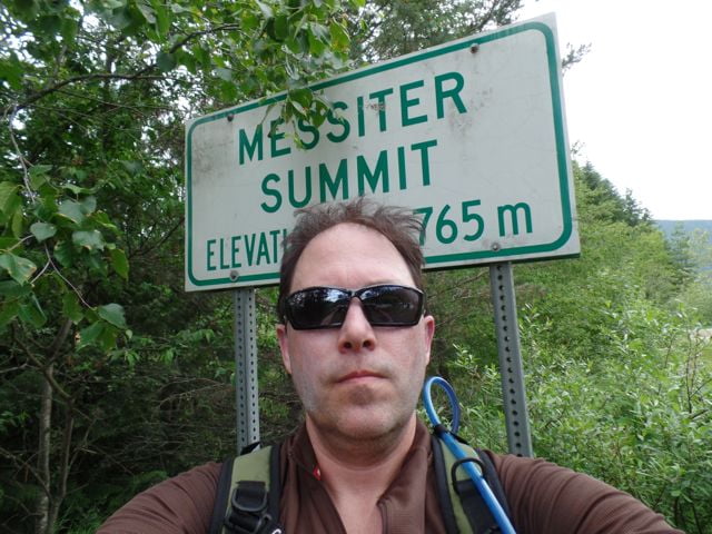
Day 4: Tete Jaune Cache to Jasper, AB:
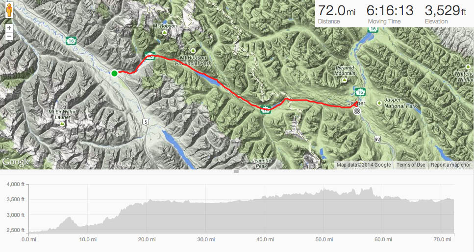
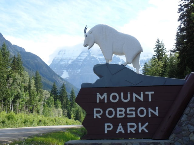
If you’re ever going to bike over the Continental Divide in the Rocky Mountains, Highway 16 is the easiest way to do it. After a healthy climb in the morning (and cooler weather!), I stealthily rode past the summit-munching ram of Mount Robson Park:
followed the Fraser River around to Moose Lake,
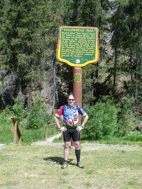
Crested Yellowhead Pass:
And enjoyed the rolling hills into Jasper until I saw Tourists Behaving Badly. In the center of this photo:
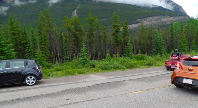
you may notice a black blob. That is a black bear. You’ll also notice the motorcyclist is on the wrong side of the road with the Hyundai in close pursuit. The poor bear just wants to get some berries, take a morning dump, and move on. A day later, we saw a bigger group where a lady with one of those selfie extenders for the phone was trying to coax the bear out for a better photo. Two days later, we observed a car do a rapid 180-degree turn in front of a pair of racers, drive half a mile in the wrong lane, then suddenly stop to photo an elk. The racers cornered the driver and shared some reality.
Comments are closed.